-
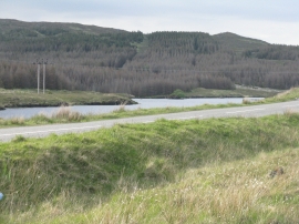
Loch Cleit na Stiuire
-
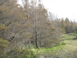
Dying forest in the Isle of Lewis
Loch Cleit na Stiuire
Dying forest in the Isle of Lewis
Location and coordinates are for the approximate centre of Loch Cleit na Stiùire within this administrative area. Geographic features and populated places may cross administrative borders.