-
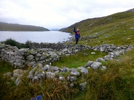
Captain Alan Holmes Has Landed
-
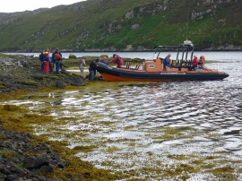
Departing Kinlochresort by Seatrek RIB
Captain Alan Holmes Has Landed
Departing Kinlochresort by Seatrek RIB
Location and coordinates are for the approximate centre of Loch an Truim within this administrative area. Geographic features and populated places may cross administrative borders.