-
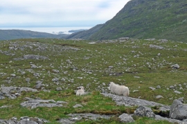
View from Cleit an Ruisg, Harris
-
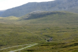
View south-east from above the head of Loch Mharaig
View from Cleit an Ruisg, Harris
View south-east from above the head of Loch Mharaig
Location and coordinates are for the approximate centre of Loch an Ruisg within this administrative area. Geographic features and populated places may cross administrative borders.