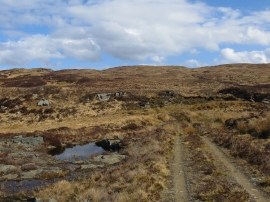
Loch a'Ghatha, Argyll and Bute

« Gazetteer Entry
Upload Photo

Loch a'Ghatha, Argyll and Bute

  • Unitary Authority: Argyll and Bute
  • Region: Scotland
  • Category: Water Feature
  • Type: Other Water Feature
  • Latitude/Longitude: 55°42'20"N 5°32'34"W
  • Eastings/Northings: 177500, 651500
  • OS Grid: NR775515
  • Mapcode Local: GBR DFPM.PTY
  • Mapcode Global: WH0KT.TVP8

Location and coordinates are for the approximate centre of Loch a'Ghatha within this administrative area. Geographic features and populated places may cross administrative borders.

BritishPlaceNames.uk is a Good Stuff website.