-
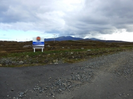
Construction Work, Lochcarnan Windfarm Road
-
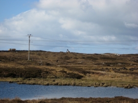
Lochcarnan Community Windfarm
Construction Work, Lochcarnan Windfarm Road
Lochcarnan Community Windfarm
Location and coordinates are for the approximate centre of Loch a' Mhuill Mheadhonaich within this administrative area. Geographic features and populated places may cross administrative borders.