-
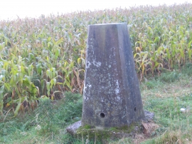
Triangulation Pillar 2994 at Loath Hill
-
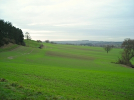
Robin Hood Way and surroundings
-
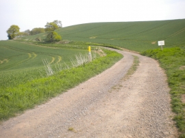
Farm track on Loath Hill
-
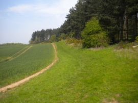
Robin Hood Way on Robin Hood Hill
-
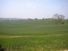
Fields west of Loath Hill
-

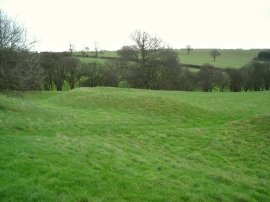
Burial mound from Robin Hood Hill
-

Greaves Lane north of Robin Hood Hill
-
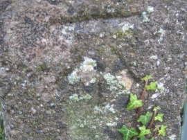
Ordnance Survey Cut Mark
-
Old Ox hill fort
-
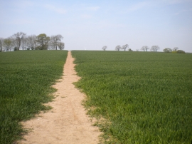
Robin Hood Way north of Robin Hood Hill (3)