-

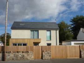
East Lothian Townscape : New House on Haddington Road , Aberlady - oblique view from the SSW
-
East Lothian Architecture : New House on Haddington Road, Aberlady
East Lothian Townscape : New House on Haddington Road , Aberlady - oblique view from the SSW
East Lothian Architecture : New House on Haddington Road, Aberlady
Location and coordinates are for the approximate centre of Loany Wood within this administrative area. Geographic features and populated places may cross administrative borders.