-
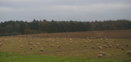
Sheep south of Loam Wood
-

Houses north of Bonemill Bridge, from the railway
Sheep south of Loam Wood
Houses north of Bonemill Bridge, from the railway
Location and coordinates are for the approximate centre of Loam Wood within this administrative area. Geographic features and populated places may cross administrative borders.