-
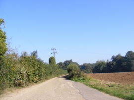
Entrance to Vale Farm Barns & Home Whin Farm
-
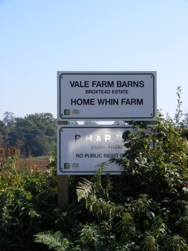
Vale Farm Barns & Home Whin Farm sign
Entrance to Vale Farm Barns & Home Whin Farm
Vale Farm Barns & Home Whin Farm sign
Location and coordinates are for the approximate centre of Loam Ponds within this administrative area. Geographic features and populated places may cross administrative borders.