-
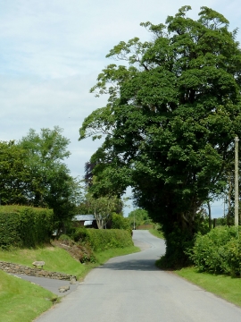
Lane approaching Llwyn-y-Groes, Ceredigion
-

Pant-y-rhew farm at Llwyn-y-Groes, Ceredigion
Lane approaching Llwyn-y-Groes, Ceredigion
Pant-y-rhew farm at Llwyn-y-Groes, Ceredigion
Location and coordinates are for the approximate centre of Llwyn-y-groes within this administrative area. Geographic features and populated places may cross administrative borders.