-
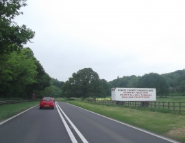
Wind Turbine Protest Sign Beside the A483
-

The A483 at Glan Hafren
Wind Turbine Protest Sign Beside the A483
The A483 at Glan Hafren
Location and coordinates are for the approximate centre of Llifior Wood within this administrative area. Geographic features and populated places may cross administrative borders.