-

Uwchben Blaen Marchnant / Above Blaen Marchnant
-
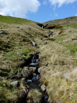
Nant y Garw east of Ffair-rhos, Ceredigion
Uwchben Blaen Marchnant / Above Blaen Marchnant
Nant y Garw east of Ffair-rhos, Ceredigion
Location and coordinates are for the approximate centre of Llethr Brith within this administrative area. Geographic features and populated places may cross administrative borders.