-

Church of St. Michael in the Winds , Llanfihangel yng Ngwynfa
-
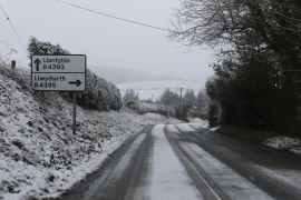
Junction of the B4393 and B4395
Church of St. Michael in the Winds , Llanfihangel yng Ngwynfa
Junction of the B4393 and B4395
Location and coordinates are for the approximate centre of Llanfihangel-yng-Ngwynfa within this administrative area. Geographic features and populated places may cross administrative borders.