-
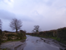
A wet day at Higher Pudsham
-
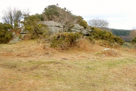
Blackadon Tor
A wet day at Higher Pudsham
Blackadon Tor
Location and coordinates are for the approximate centre of Lizwell Wood within this administrative area. Geographic features and populated places may cross administrative borders.