-
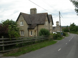
Ashington, Lady Wimborne Cottages
-
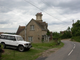
Ashington, Lady Wimborne Cottages
Ashington, Lady Wimborne Cottages
Ashington, Lady Wimborne Cottages
Location and coordinates are for the approximate centre of Livett's Hill Coppice within this administrative area. Geographic features and populated places may cross administrative borders.