-
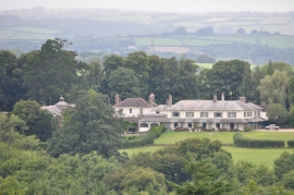
Mid Devon : Stuckeridge House
-
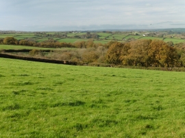
Pasture above 'Down'
Mid Devon : Stuckeridge House
Pasture above 'Down'
Location and coordinates are for the approximate centre of Littlehill Copse within this administrative area. Geographic features and populated places may cross administrative borders.