-
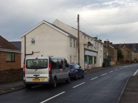
Ruspidge Road, Ruspidge
-
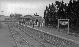
Cinderford station, 1950
Ruspidge Road, Ruspidge
Cinderford station, 1950
Location and coordinates are for the approximate centre of Little Staple-edge Wood within this administrative area. Geographic features and populated places may cross administrative borders.