-
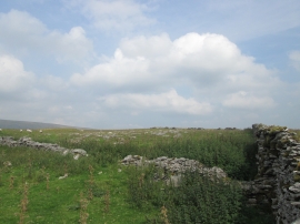
Little Snaizwold Fell
-
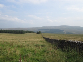
Looking east from Snaizwold Fell
Little Snaizwold Fell
Looking east from Snaizwold Fell
Location and coordinates are for the approximate centre of Little Snaizwold Fell within this administrative area. Geographic features and populated places may cross administrative borders.