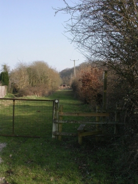
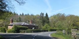
Little Rough Copse, Dorset

« Gazetteer Entry
Upload Photo

Little Rough Copse, Dorset

  • Parish/Community: Wimborne St. Giles
  • District/Borough: East Dorset
  • County: Dorset
  • Region: South West
  • Category: Landcover
  • Type: Forest or Wood
  • Latitude/Longitude: 50°53'12"N 1°55'56"W
  • Eastings/Northings: 404859, 109688
  • OS Grid: SU048096
  • Mapcode Local: GBR 421.B9K
  • Mapcode Global: FRA 66VR.M15

Location and coordinates are for the approximate centre of Little Rough Copse within this administrative area. Geographic features and populated places may cross administrative borders.

BritishPlaceNames.uk is a Good Stuff website.