-
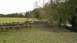
Newly fenced footpath beside the River Dove
-
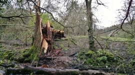
Another tree down
Newly fenced footpath beside the River Dove
Another tree down
Location and coordinates are for the approximate centre of Little Peg's Wood within this administrative area. Geographic features and populated places may cross administrative borders.