-
Road from Elbridge joining the B4397 at Shotatton
-

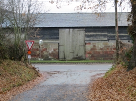
A5 crossroads west of Low Bank
Road from Elbridge joining the B4397 at Shotatton
A5 crossroads west of Low Bank
Location and coordinates are for the approximate centre of Little Heath within this administrative area. Geographic features and populated places may cross administrative borders.