-
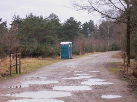
Comfort station in Longmoor Inclosure
-
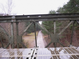
Looking south from military bridge
Comfort station in Longmoor Inclosure
Looking south from military bridge
Location and coordinates are for the approximate centre of Little Dean Bottom within this administrative area. Geographic features and populated places may cross administrative borders.