-
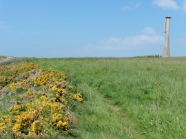
The Pembrokeshire Coast Path near Little Castle Head
-
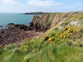
The Pembrokeshire Coast Path near Little Castle Head
The Pembrokeshire Coast Path near Little Castle Head
The Pembrokeshire Coast Path near Little Castle Head
Location and coordinates are for the approximate centre of Little Castle Head within this administrative area. Geographic features and populated places may cross administrative borders.