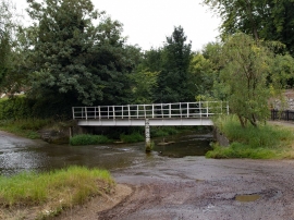
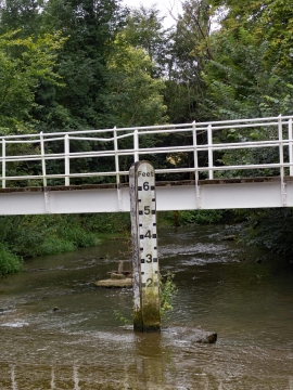
Little Barwick Wood, Hertfordshire

« Gazetteer Entry
Upload Photo

Little Barwick Wood, Hertfordshire

  • Parish/Community: Standon
  • District/Borough: East Hertfordshire
  • County: Hertfordshire
  • Region: Eastern
  • Category: Landcover
  • Type: Forest or Wood
  • Latitude/Longitude: 51°51'4"N 0°0'53"E
  • Eastings/Northings: 538867, 218885
  • OS Grid: TL388188
  • Mapcode Local: GBR KB2.Y9P
  • Mapcode Global: VHHLS.6QNN

Location and coordinates are for the approximate centre of Little Barwick Wood within this administrative area. Geographic features and populated places may cross administrative borders.

BritishPlaceNames.uk is a Good Stuff website.