-
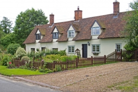
Pair of cottages, Lucking Street, Great Maplestead (listed building)
-
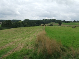
Field Boundary
Pair of cottages, Lucking Street, Great Maplestead (listed building)
Field Boundary
Location and coordinates are for the approximate centre of Link Hills within this administrative area. Geographic features and populated places may cross administrative borders.