-

Forest road, East Dean
-
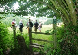
Footpath from Lining Wood towards Lea
Forest road, East Dean
Footpath from Lining Wood towards Lea
Location and coordinates are for the approximate centre of Lining Wood within this administrative area. Geographic features and populated places may cross administrative borders.