-
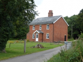
House at Linford Wood
-
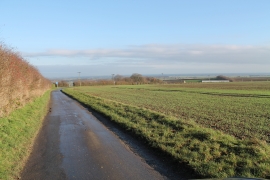
Lane towards Acthorpe Farm
House at Linford Wood
Lane towards Acthorpe Farm
Location and coordinates are for the approximate centre of Linford Wood within this administrative area. Geographic features and populated places may cross administrative borders.