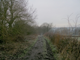
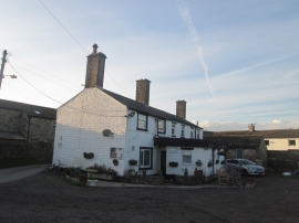
Linfit, Kirklees

« Gazetteer Entry
Upload Photo

Linfit, Kirklees

  • Parish/Community: Kirkburton
  • Unitary Authority: Kirklees
  • Region: Yorkshire and The Humber
  • Category: Populated Place
  • Type: Hamlet
  • Latitude/Longitude: 53°37'17"N 1°41'17"W
  • Eastings/Northings: 420718, 413929
  • OS Grid: SE207139
  • Mapcode Local: GBR JVNK.9J
  • Mapcode Global: WHCB9.17CJ

Location and coordinates are for the approximate centre of Linfit within this administrative area. Geographic features and populated places may cross administrative borders.

BritishPlaceNames.uk is a Good Stuff website.