-
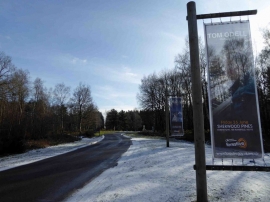
Leaving Sherwood Pines Forest Park
-
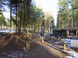
Bike hire / cycle shop Sherwood Pines Forest Park visitor centre
Leaving Sherwood Pines Forest Park
Bike hire / cycle shop Sherwood Pines Forest Park visitor centre
Location and coordinates are for the approximate centre of Lindleys Plantation within this administrative area. Geographic features and populated places may cross administrative borders.