-
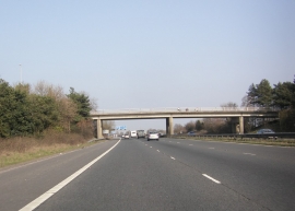
Bridge carrying Lightfoot Green Lane over the M55
-
Lightfoot Green Lane crosses the M55
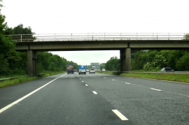
Bridge carrying Lightfoot Green Lane over the M55
Lightfoot Green Lane crosses the M55
Location and coordinates are for the approximate centre of Lightfoot Green within this administrative area. Geographic features and populated places may cross administrative borders.