-
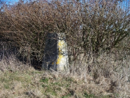
Neglected triangulation pillar
-
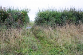
Footpath running SW from Lidstone
Neglected triangulation pillar
Footpath running SW from Lidstone
Location and coordinates are for the approximate centre of Lidstone Hill within this administrative area. Geographic features and populated places may cross administrative borders.