-
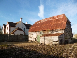
Snuggs Barn, East Hanney
-
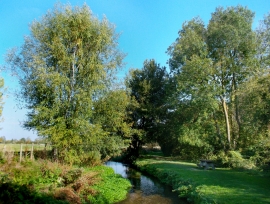
Letcombe Brook at East Hanney
Snuggs Barn, East Hanney
Letcombe Brook at East Hanney
Location and coordinates are for the approximate centre of Letcombe Brook within this administrative area. Geographic features and populated places may cross administrative borders.