-

Cromwell Ford Way, South Stella, Blaydon
-
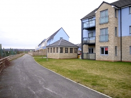
Cromwell Ford Way, South Stella, Blaydon
Cromwell Ford Way, South Stella, Blaydon
Cromwell Ford Way, South Stella, Blaydon
Location and coordinates are for the approximate centre of Lemington within this administrative area. Geographic features and populated places may cross administrative borders.