-
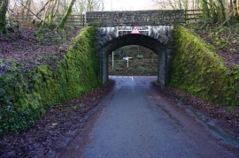
Disused railway bridge
-
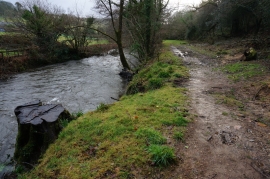
River Meavy
Disused railway bridge
River Meavy
Location and coordinates are for the approximate centre of Leighbeer Plantations within this administrative area. Geographic features and populated places may cross administrative borders.