-
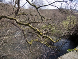
Looking up the Little Dart River from Dart Bridge
-
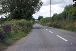
A377 towards the Dart Bridge
Looking up the Little Dart River from Dart Bridge
A377 towards the Dart Bridge
Location and coordinates are for the approximate centre of Leigh Wood within this administrative area. Geographic features and populated places may cross administrative borders.