-
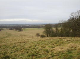
View over Belton Park
-
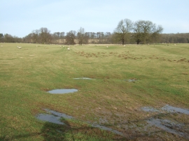
Puddles and sheep, Belton Park
View over Belton Park
Puddles and sheep, Belton Park
Location and coordinates are for the approximate centre of Leg o' Mutton Pond within this administrative area. Geographic features and populated places may cross administrative borders.