-
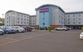
Premier Inn, Solar Way, Innova Park, off Mollison Avenue, Enfield
-

Rammey Marsh Lock
Premier Inn, Solar Way, Innova Park, off Mollison Avenue, Enfield
Rammey Marsh Lock
Location and coordinates are for the approximate centre of Lee Valley within this administrative area. Geographic features and populated places may cross administrative borders.