-
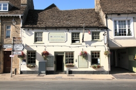
The Crown Inn and Halfpenny Brewery, High Street, Lechlade
-
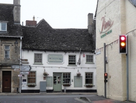
The Crown Inn, Lechlade
The Crown Inn and Halfpenny Brewery, High Street, Lechlade
The Crown Inn, Lechlade
Location and coordinates are for the approximate centre of Lechlade-on-Thames within this administrative area. Geographic features and populated places may cross administrative borders.