-
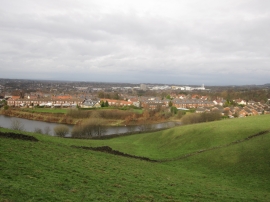
Another view from Blakelow Road, Macclesfield
-

A view from Blakelow Road, Macclesfield
Another view from Blakelow Road, Macclesfield
A view from Blakelow Road, Macclesfield
Location and coordinates are for the approximate centre of Leadbeaters Reservoir within this administrative area. Geographic features and populated places may cross administrative borders.