-
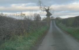
Selaby Lane towards Langton
-
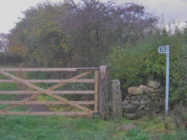
Stile and signage for footpath from Selaby Lane
Selaby Lane towards Langton
Stile and signage for footpath from Selaby Lane
Location and coordinates are for the approximate centre of Langton Bank Wood within this administrative area. Geographic features and populated places may cross administrative borders.