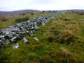
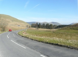
Langfauld Wood, Dumfries and Galloway

« Gazetteer Entry
Upload Photo

Langfauld Wood, Dumfries and Galloway

  • Unitary Authority: Dumfries and Galloway
  • Region: Scotland
  • Category: Landcover
  • Type: Forest or Wood
  • Latitude/Longitude: 55°10'6"N 3°0'50"W
  • Eastings/Northings: 335500, 586500
  • OS Grid: NY355865
  • Mapcode Local: GBR 78DP.80
  • Mapcode Global: WH7YP.NCX1

Location and coordinates are for the approximate centre of Langfauld Wood within this administrative area. Geographic features and populated places may cross administrative borders.

BritishPlaceNames.uk is a Good Stuff website.