-

Sheep and lambs - Whytings Farm
-
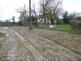
The grass was greener on the other side
Sheep and lambs - Whytings Farm
The grass was greener on the other side
Location and coordinates are for the approximate centre of Landlord's Copse within this administrative area. Geographic features and populated places may cross administrative borders.