-
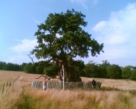
The Sydney Oak in Penshurst Park
-
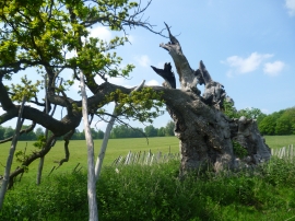
Close up of the Sidney Oak, Penshurst Park
The Sydney Oak in Penshurst Park
Close up of the Sidney Oak, Penshurst Park
Location and coordinates are for the approximate centre of Lancup Well within this administrative area. Geographic features and populated places may cross administrative borders.