-
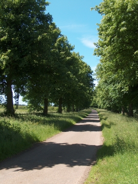
Tree-lined lane leading to Tile Kiln Wood, Welbeck Estate
-

View to Welbeck Abbey along the Great Lake
Tree-lined lane leading to Tile Kiln Wood, Welbeck Estate
View to Welbeck Abbey along the Great Lake
Location and coordinates are for the approximate centre of Lambing Cabin Clump within this administrative area. Geographic features and populated places may cross administrative borders.