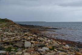
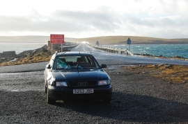
Lamb Holm, Orkney Islands

« Gazetteer Entry
Upload Photo

Lamb Holm, Orkney Islands

  • Unitary Authority: Orkney Islands
  • Region: Scotland
  • Category: Geographic Feature
  • Type: Other Coastal Landform
  • Latitude/Longitude: 58°53'2"N 2°53'51"W
  • Eastings/Northings: 348354, 999968
  • OS Grid: ND483999
  • Mapcode Local: GBR M567.WV4
  • Mapcode Global: WH7CK.GYCT

Location and coordinates are for the approximate centre of Lamb Holm within this administrative area. Geographic features and populated places may cross administrative borders.

BritishPlaceNames.uk is a Good Stuff website.