-
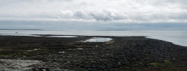
The Danes' Pier, Lamb Ness, Stronsay, Orkney
-
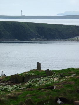
Erect slabs on The Brough, Stronsay, Orkney
The Danes' Pier, Lamb Ness, Stronsay, Orkney
Erect slabs on The Brough, Stronsay, Orkney
Location and coordinates are for the approximate centre of Lamb Head within this administrative area. Geographic features and populated places may cross administrative borders.