-
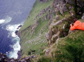
Over the precipice, Claigeann M
-
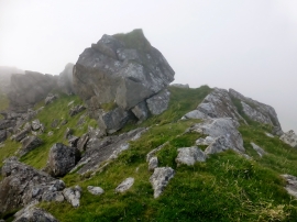
Claigeann Mor
Over the precipice, Claigeann M
Claigeann Mor
Location and coordinates are for the approximate centre of Laimhrig nam Gall within this administrative area. Geographic features and populated places may cross administrative borders.