-

The Manifold Way east of Grindon
-
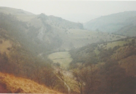
The Manifold Valley in 1984
The Manifold Way east of Grindon
The Manifold Valley in 1984
Location and coordinates are for the approximate centre of Ladyside Wood within this administrative area. Geographic features and populated places may cross administrative borders.