-
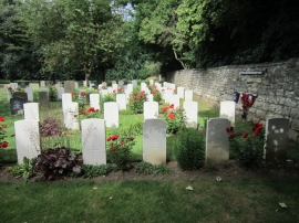
War Graves in Kirkby Wharfe Cemetery
-
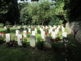
War Graves in Kirkby Wharfe Cemetery
War Graves in Kirkby Wharfe Cemetery
War Graves in Kirkby Wharfe Cemetery
Location and coordinates are for the approximate centre of Ladyflats Belt within this administrative area. Geographic features and populated places may cross administrative borders.