-
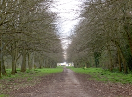
The long road south
-
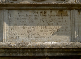
Almshouses inscription
The long road south
Almshouses inscription
Location and coordinates are for the approximate centre of Lacock Road Plantation within this administrative area. Geographic features and populated places may cross administrative borders.